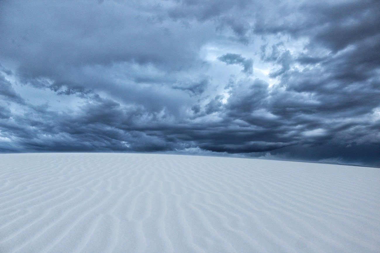
Las Cruces is surrounded by high-desert hiking trails ranging from easy canyon walks to rugged backcountry routes. Before heading out, check trail conditions, carry plenty of water, and plan for limited shade, especially during warmer months.
Las Cruces is surrounded by hiking trails that lead through desert canyons, mountain foothills, and fossil-rich landscapes. The routes in this guide range from easy walks to longer backcountry hikes, giving outdoor enthusiasts several options within a short drive of downtown. Before setting out, prepare for changing trail conditions, limited shade, and the need to carry plenty of water.
After replacing fluids and cooling down, many hikers head into Las Cruces or nearby Mesilla for a meal and time to relax. Local restaurants, breweries, wineries, and Dry Point Distillers provide convenient places to unwind after spending the day on southern New Mexico’s trails.
Best High-Desert Hiking Routes
The best hiking trails near Las Cruces offer different experiences, from easy desert loops to historic sites and rugged fossil areas. Choosing the right trail depends on your experience level, available time, and current weather conditions.
1. Bar Canyon Trail at Soledad Canyon
-
GPS Coordinates: 32.2999, -106.5833 (Soledad Canyon Day Use Area)
- Distance from Downtown Las Cruces: Approximately 14 miles (25 minutes)
- Best For: Beginners, families, and hikers looking for a shorter desert loop
Bar Canyon Trail is a loop within the Bureau of Land Management’s Soledad Canyon Day Use Area. The route covers approximately three miles over a mostly natural desert surface with sections of gravel and rocky footing. Elevation changes are modest compared with many Organ Mountains trails, making it a practical option for hikers who want a shorter outing without a sustained climb.
Parking at the Soledad Canyon Day Use Area is free. The trailhead offers convenient access to the Bar Canyon Trail, but hikers should arrive prepared with water and other essentials. Cell service may be inconsistent depending on your carrier.
Rather than covering every hiking option in the Organ Mountains foothills here, see the complete guide to Las Cruces hiking trails for additional routes, trail difficulty, and seasonal recommendations.
2. Dripping Springs Trail

- GPS Coordinates: 32.3195, -106.5948
- Distance from Downtown Las Cruces: Approximately 14 miles (25 minutes)
- Best For: Historic destinations and moderate day hikes
Dripping Springs Trail is a three-mile round-trip hike within the Dripping Springs Natural Area, managed by the Bureau of Land Management. The trail follows a steady uphill grade on a maintained path leading to the historic resort ruins and nearby points of interest.
The day-use fee is $5 per vehicle. Parking, restrooms, and interpretive displays are available near the trailhead.
The trail is generally accessible throughout the year, although summer temperatures can become hazardous during midday hours. Early morning hikes are recommended during warmer months.
For more information about the history of this part of the Organ Mountains, read the guide to Las Cruces History and the Organ Mountains.
3. Prehistoric Trackways Fossil Discovery Area

- GPS Coordinates: 32.3725, -106.8974
- Distance from Downtown Las Cruces: Approximately 8 miles (16 minutes)
- Best For: Fossil enthusiasts and experienced desert hikers
The Prehistoric Trackways National Monument preserves fossilized footprints dating back nearly 280 million years. Reaching the trackway requires hiking through rugged backcountry terrain in the Robledo Mountains.
The commonly traveled route covers roughly 2.8 miles, depending on the starting point and the path selected through the trail network. Expect uneven rocky surfaces, loose desert soil, and several washes. Shade structures are not available anywhere along the route.
Because portions of the trail system are informal and route-finding may be necessary, download maps before leaving town and avoid hiking alone during hot weather. Four-wheel-drive vehicles may help reach some trailheads after periods of rain.
4. Sierra Vista Trail (Dripping Springs Access)
- GPS Coordinates: 32.3195, -106.5948
- Distance from Downtown Las Cruces: Approximately 16 miles (25 minutes)
- Best For: Longer walks, trail running, and mountain biking
The Sierra Vista Trail stretches for more than 29 miles along the western foothills of the Organ Mountains. While the full trail serves hikers, runners, mountain bikers, and horseback riders, many visitors choose shorter sections instead of attempting the entire route.
One popular option begins near the Dripping Springs Trailhead and follows a relatively gentle section for about four miles out and back. This segment provides wide views of the Organ Mountains while avoiding the steeper climbs found on nearby canyon trails.
Because the trail is fully exposed to the sun, bring more water than you think you will need. Wind can also increase quickly during spring afternoons.
Post-Hike REfueling
Always rehydrate after a hike with water and electrolytes. Once you’ve cooled down and completed your drive, Mesilla and Las Cruces offer several convenient places to enjoy a meal or locally crafted beverages, including:
- Dry Point Distillers
- Address: 1680 Calle de Alvarez, Mesilla, NM 88046
- Distance from Downtown Las Cruces: Approximately 3 miles
Dry Point Distillers produces small-batch spirits distilled in southern New Mexico and serves handcrafted cocktails in its Mesilla tasting room. Food is available through Stone Crow Gourmet, making it easy to enjoy a complete meal after a day on the trail. Patio seating is available, weather permitting, and the menu changes seasonally with rotating cocktail specials featuring Dry Point Distillers spirits.
Plan Your Next Hike
The hiking trails near Las Cruces range from short desert loops to longer backcountry routes through the Organ and Robledo mountains. Choosing the right trail starts with understanding the distance, terrain, weather, and available facilities before leaving town.
After replacing fluids and finishing your drive, consider extending the day with a meal or handcrafted cocktail in Mesilla. Dry Point Distillers offers locally distilled spirits, seasonal cocktails, and food from Stone Crow Gourmet just minutes from downtown Las Cruces, making it a convenient stop after exploring southern New Mexico’s public lands.
Hiking Trails Near Las Cruces FAQs
What is the most important safety rule for desert hiking near Las Cruces?
The most important safety rules for Las Cruces hikes are to carry enough water and start early in the day. Plan on at least one gallon of water per person per day for extended hikes in hot weather. Wear a wide-brimmed hat, sunscreen, sunglasses, and lightweight clothing that covers exposed skin. Summer temperatures frequently exceed 100 degrees, and many trails offer little or no shade. Stay alert for rattlesnakes, especially during warmer months when they may be active on or near trails. If thunderstorms are forecast, avoid washes and low-lying areas that can flood quickly.
Are dogs allowed on the regional hiking trails near Las Cruces?
Dogs are welcome on many hiking trails near Las Cruces, including trails within the Soledad Canyon Day Use Area, provided they remain leashed and you clean up after them. Rules vary by managing agency and specific trail. The Bureau of Land Management allows pets on many public lands but may restrict access in sensitive resource protection areas or where posted. Bring extra water for pets because desert surfaces become extremely hot during warmer months, and many trails have no natural water sources.
What is the difference between hiking in the Organ Mountains and the Robledo Mountains?
The Organ Mountains and the Robledo Mountains provide very different hiking experiences. The Organ Mountains feature steep granite peaks, narrow canyons, higher elevations, and trails with sustained climbing. The Robledo Mountains are generally lower in elevation and are characterized by rocky limestone terrain, desert scrub vegetation, broad washes, and paleontological sites such as the Prehistoric Trackways. Hikers looking for challenging elevation gain often choose the Organ Mountains, while those interested in geology, fossils, and open desert landscapes frequently visit the Robledos.
Can you hike to the top of the mountain peaks?
Yes, experienced hikers can reach several mountain summits in the Organ Mountains, but these routes are much more demanding than the popular canyon trails. Many lower-elevation hikes are suitable for beginners with proper preparation, while technical summit routes require excellent fitness, route-finding skills, and careful planning. Some peak routes involve scrambling over exposed rock and should not be attempted without appropriate experience. For advanced hikers seeking technical summit metrics, route details, and elevation profiles, see View From Above: Hiking the Organ Needle.
STOrY SPONSORED BY DRY POINT DISTILLERS

VISIT THE WEBSITE
Posted by LasCruces.com